A Journey to the Lofoten Islands: The Island of Vestvågøya
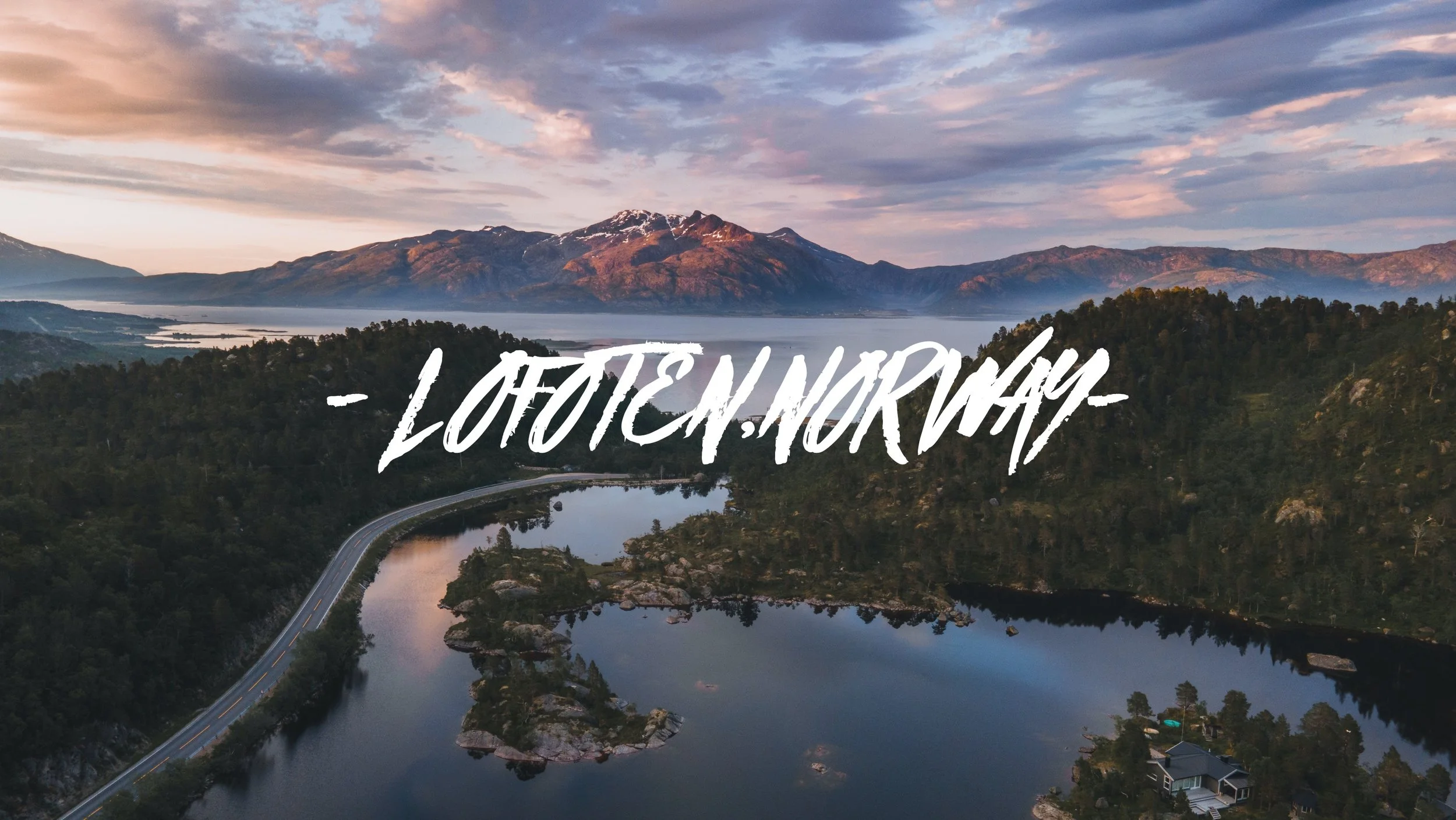
Mærvoll, Lofoten, Norway (ISO 100, 4.5 mm, f/2.8, 1/50 s)
(Some links in this post are affiliate links. If you click through and take action, I'll be compensated.) If you are also interested in any PRINTS from any of my posts, be sure to check out my store where you can buy prints as posters, in metal/wooden frames or on canvas.
**This post is the 2nd of a 5-post series discussing what to see in this part of the Lofoten Islands (You can check out the other parts below, separated by each specific island: Part 1, Part 2, Part 3, Part 4, Part 5. Everything is also summarized in another post here.**
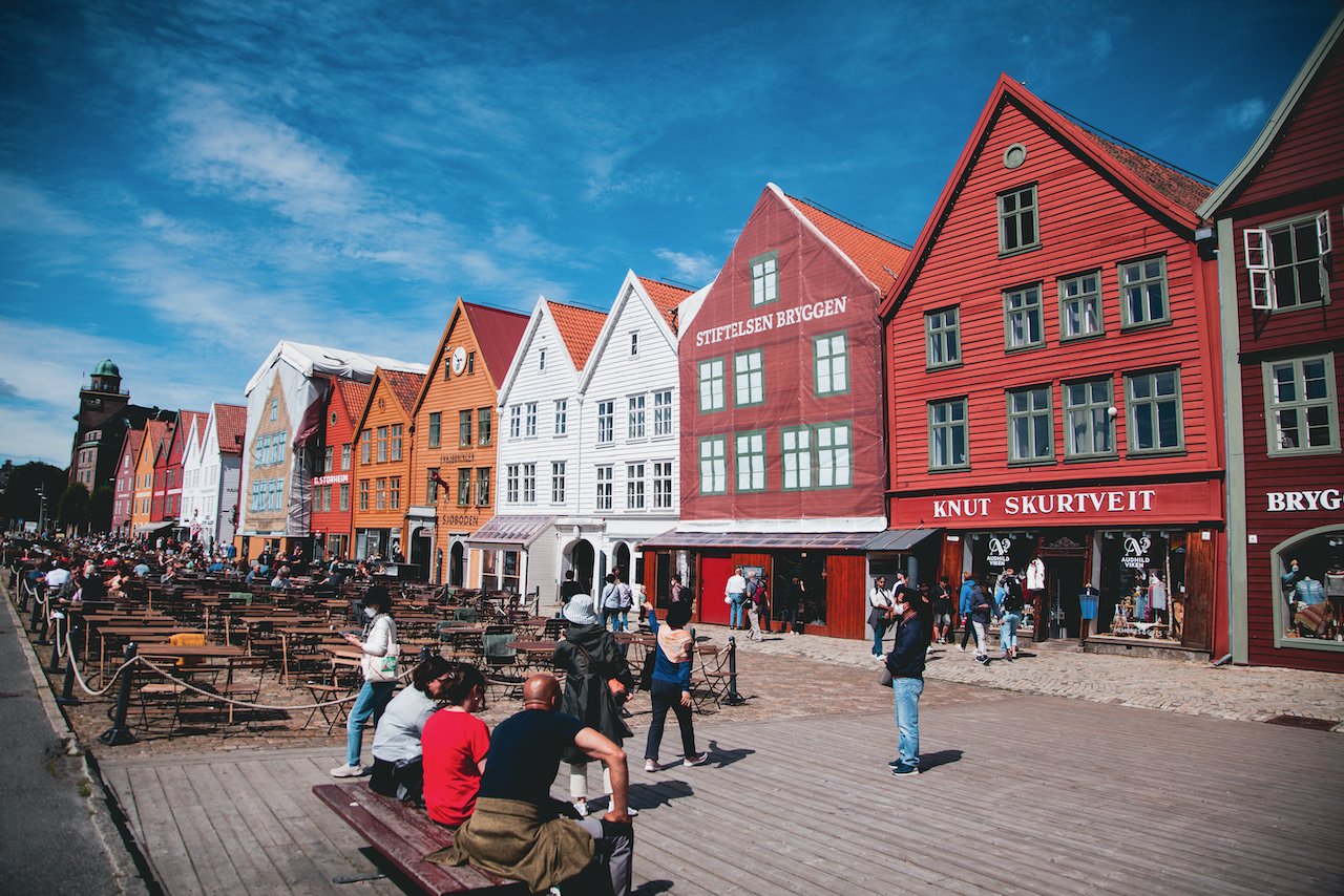
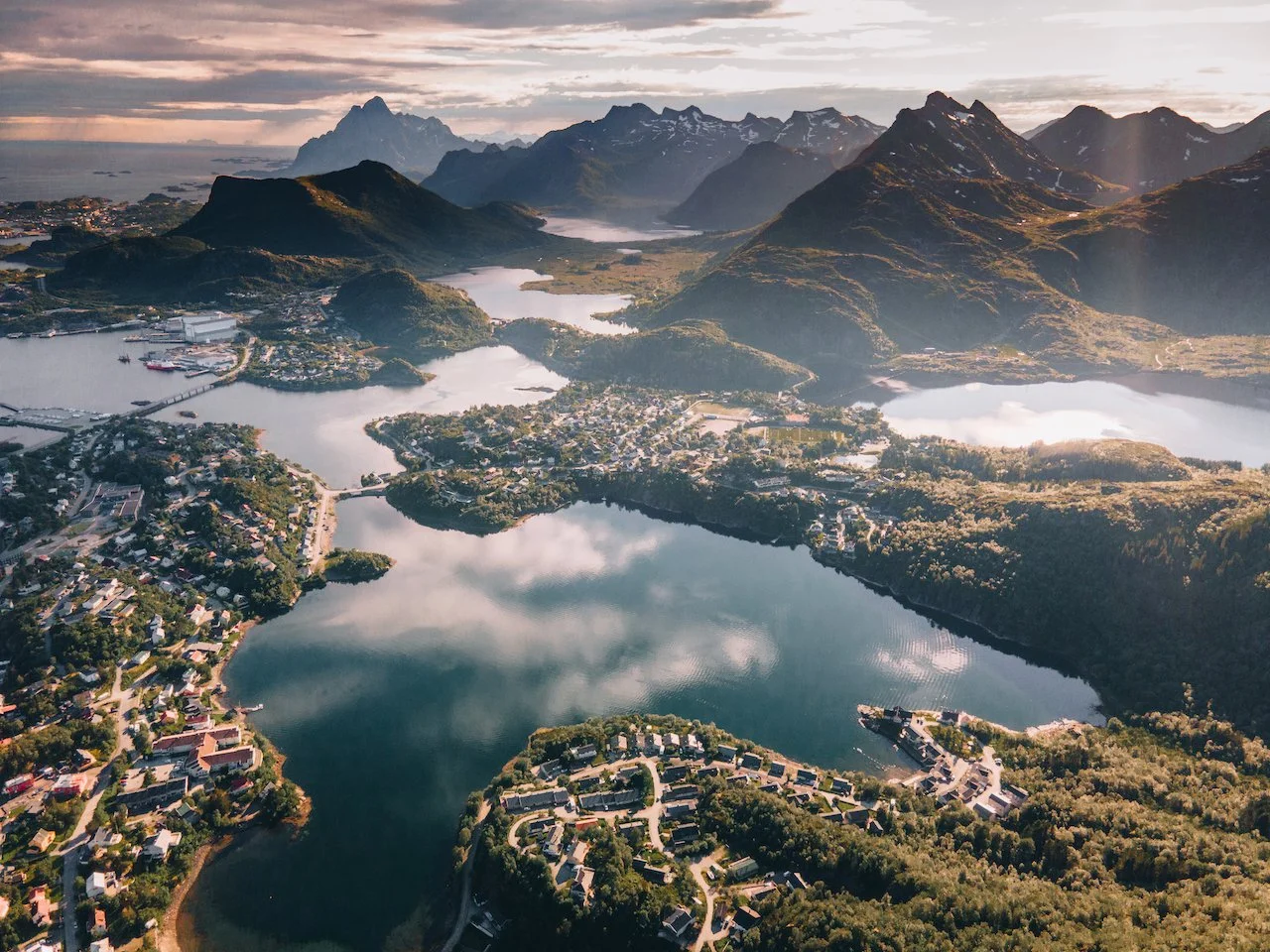
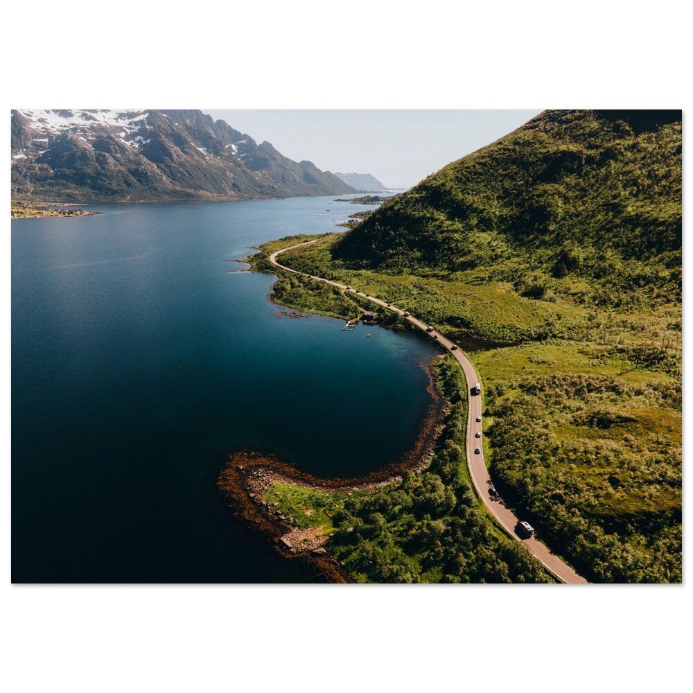
The Lofoten Islands are arguably one of the most beautiful archipelagos in the world. It is located in Northern Norway (Nordland County), within the Arctic circle tucked between the 68th and 69th northern parallels. I picked up a camper van with Arctic Campers in Tromsø, Norway (Blog Post: A Guide to Exploring Tromsø, Norway’s Northernmost City in the Arctic Circle) and had started the road trip towards Lofoten (about 4-5 hour drive).
The definition of which islands constitute Lofoten are always up for debate but for the purposes of this blog post series, I will cover 5 of the islands and reference some others. From North to South, they are composed of:
Gimsøy
Austvågøya (Blog Post: A Journey to the Lofoten Islands: The Island of Austvågøya)
Vestvågøya (Blog Post: A Journey to the Lofoten Islands: The Island of Vestvågøya)
Flakstadøya (Blog Post: A Journey to the Lofoten Islands: The Island of Flakstadøya)
Moskenesøya (Blog Post: A Journey to the Lofoten Islands: The Island of Moskenesøya)
Værøy (Blog Post: A Journey to the Lofoten Islands: The Island of Værøy)
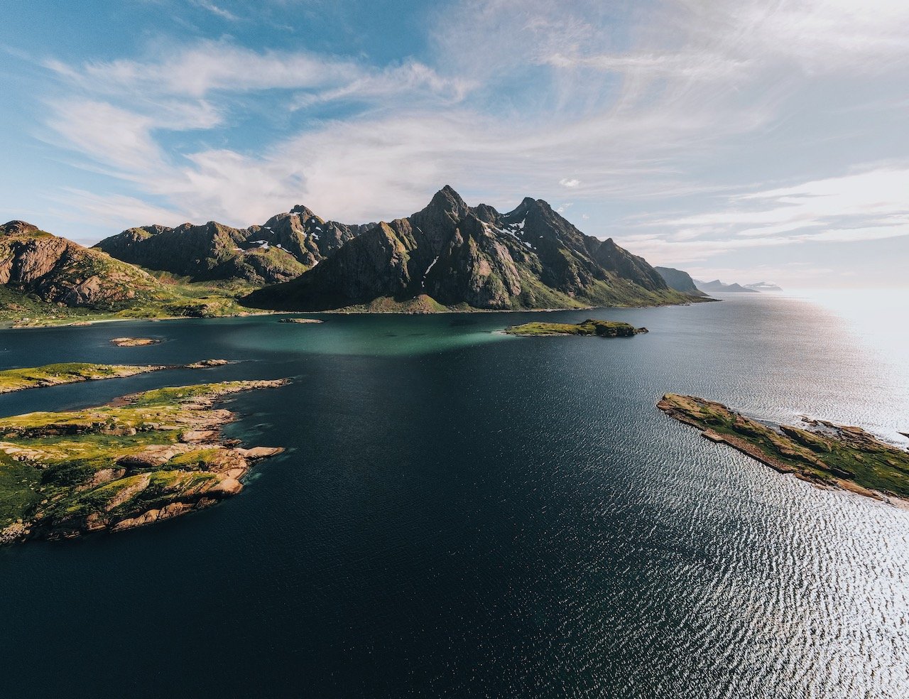
In this blog post, I will cover the island of Vestvågøya. A Google Map of these places I will talk about can be seen at the end of this article. Check out my drone video of Lofoten below!

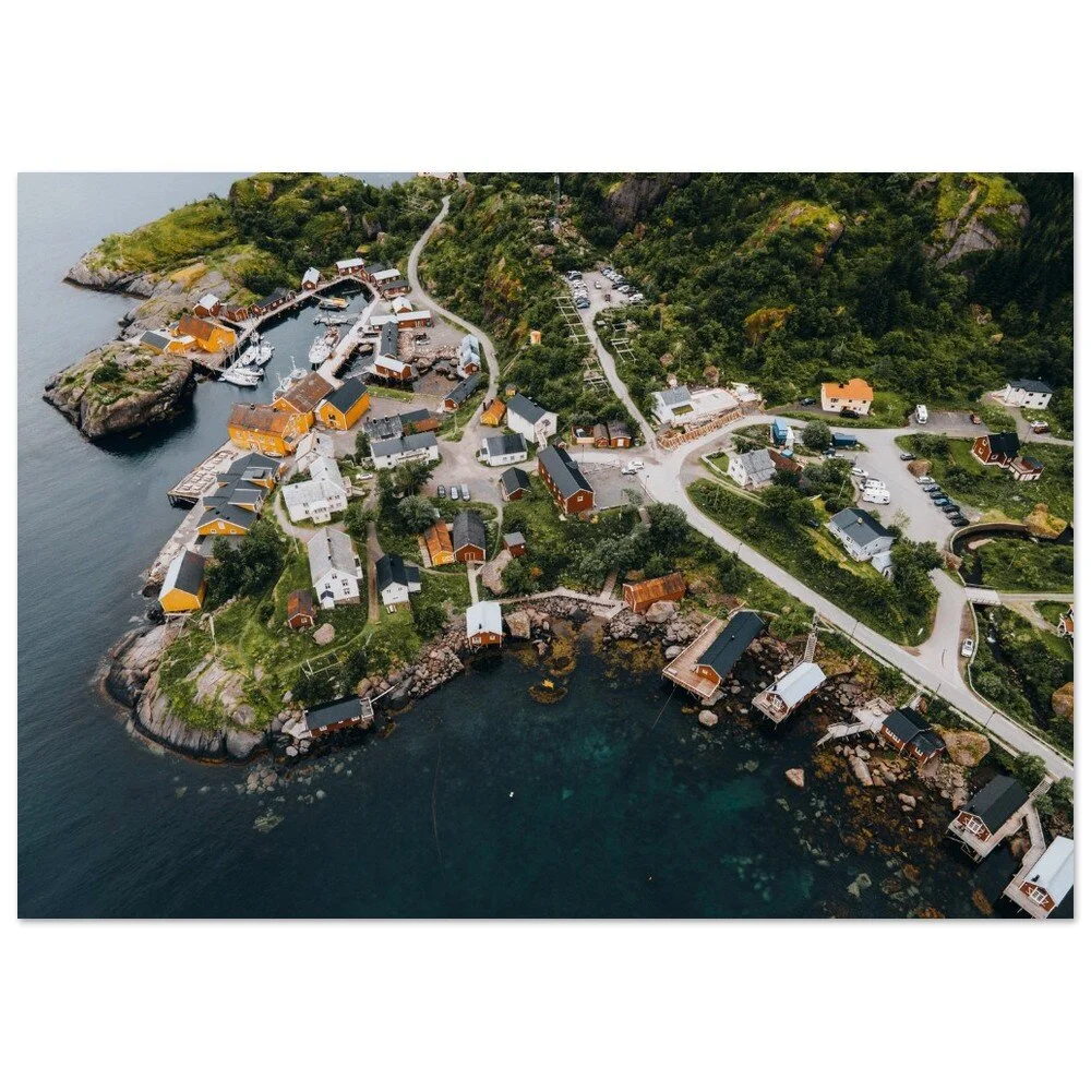
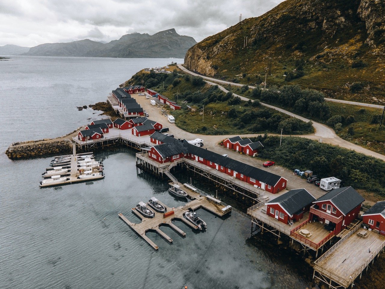
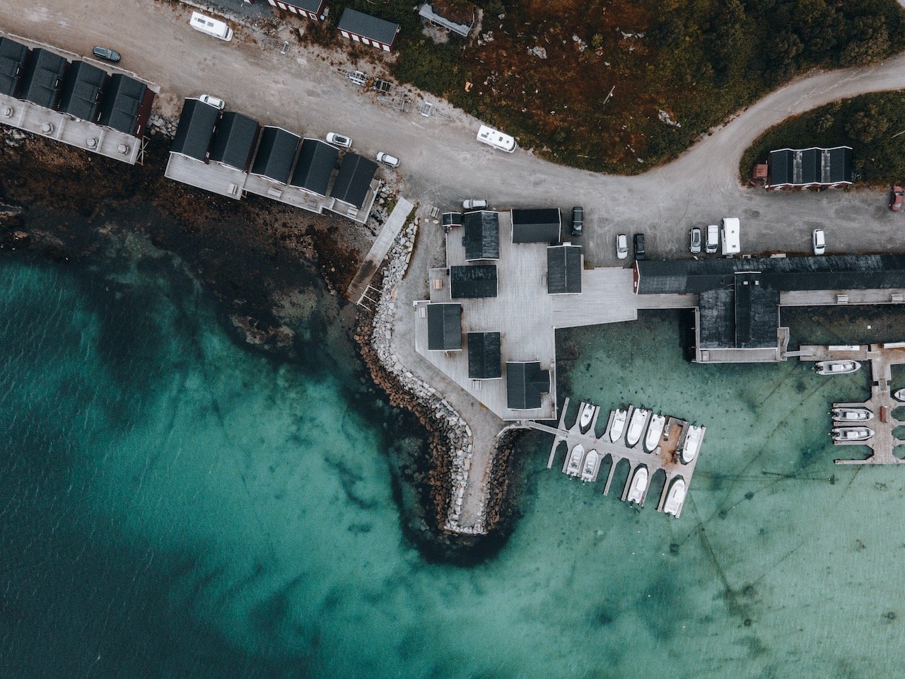
Eggum is a fishing village facing the sea on Vestvågøy. What led us here was the more relaxed atmosphere since it is located some distance off of the main E10 road, that takes you through Lofoten. Driving towards Eggum near the coastline, you will encounter a few homes here and there, many lakes, and some camping spots until you reach a dead end which is a fishing harbor.
Aside from the causal drive, we also headed this way to do a Midnight Sun Kayak Tour with Northern Explorer. After scheduling our tour for a night (‘day’) in July, we were contacted by the company to reschedule since the weather wouldn’t be ideal. This worked out perfectly for us and our relaxed schedule, so we went the day after. We had three guides and there were about 12 other people with us on the tour.
The kayaks we used were two-person and after kayaking for nearly an hour through a large archipelago of small and large islands, we wound up on an island that was like a marsh. This is when midnight struck and we had the bright red sun on the horizon, its rays poking through the dispersed rain clouds. In the other direction, was a rainbow. All of this with the wildflowers and fauna of these islands, provided such amazing imagery and scenery. We also spotted eagles, sea stars, and jellyfish on our kayak back. All in all, it was about 2.5 hours for the whole experience and I would do it again and again! Highly recommend!
If you like some of my photos that you have come across, just know that I have many prints showcasing a variety of landscapes, including Norway, available for purchase below! (Sold as Posters, Canvas, or in Metal-Frames and Wooden-Frames).


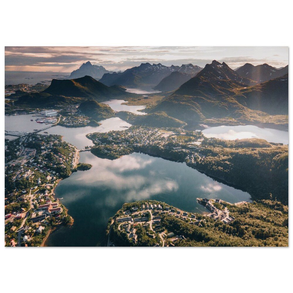


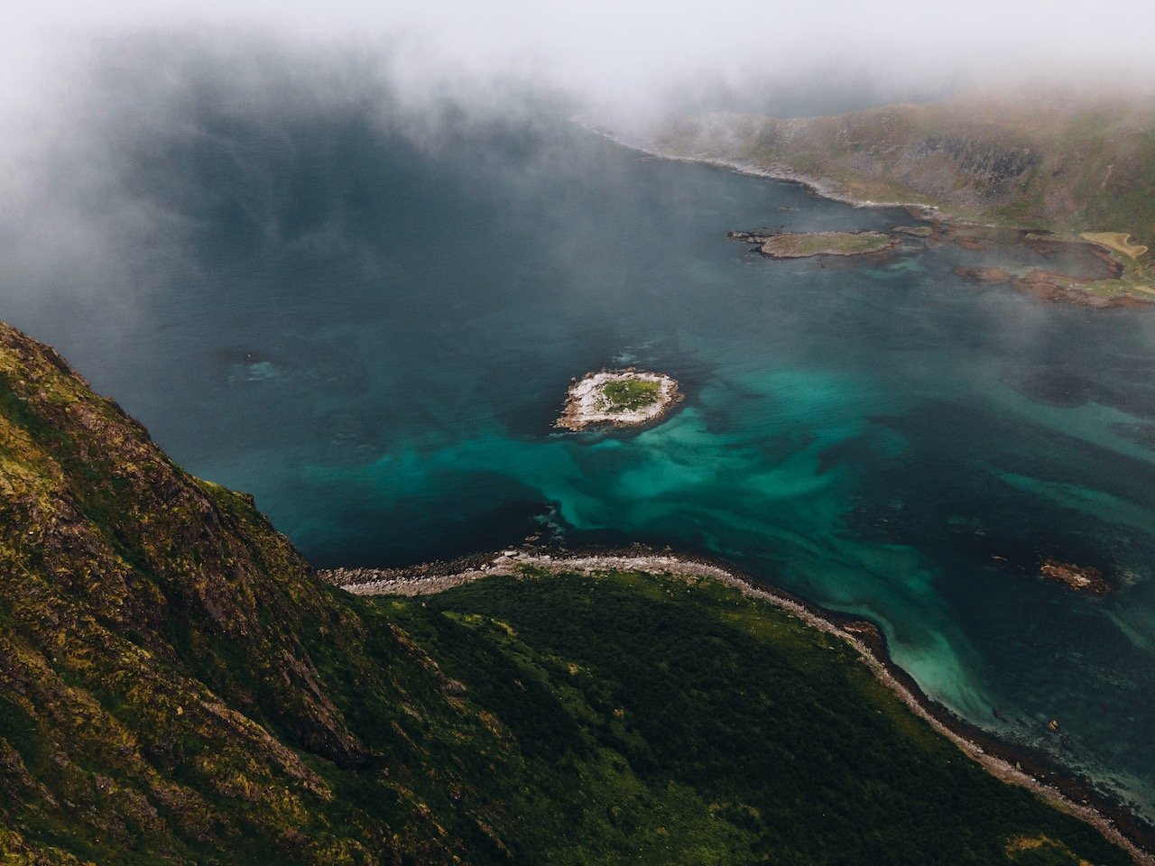
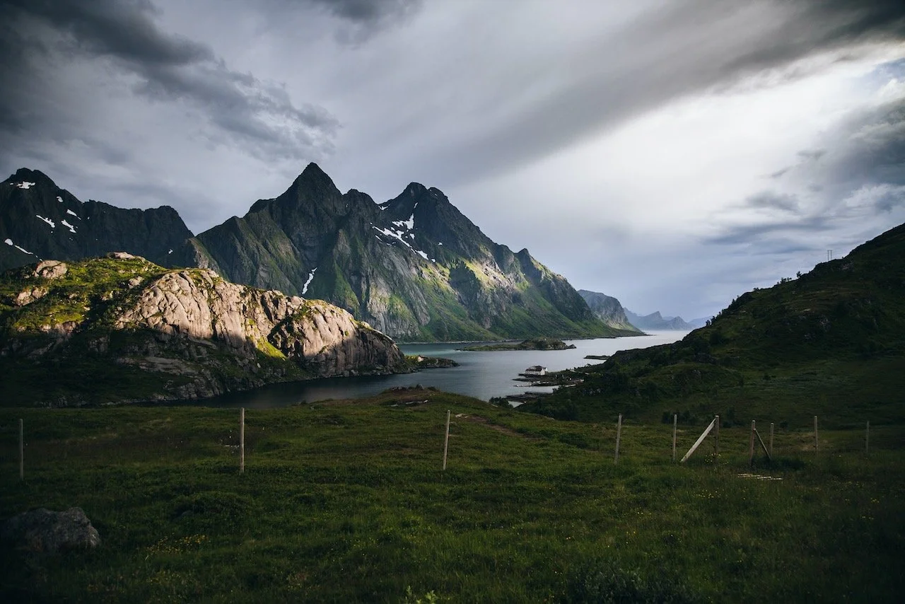
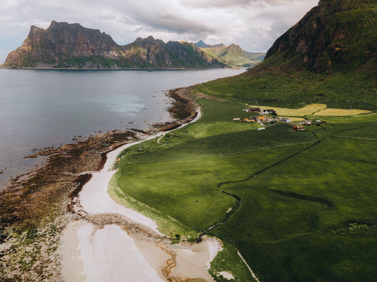
Maervoll is a village in the Steinsfjord, most known for its spectacular vista of Himmeltinden in the distance. This mountain stands 964 meters tall and is the perfect backdrop for an afternoon picnic, which is what we did. The drive here was also very relaxed and required traversing a small dirt road. It was quiet, serene, sunny, and relaxing and easily our favorite place of the day. You can find parking along the water, away from anyone or anything else.
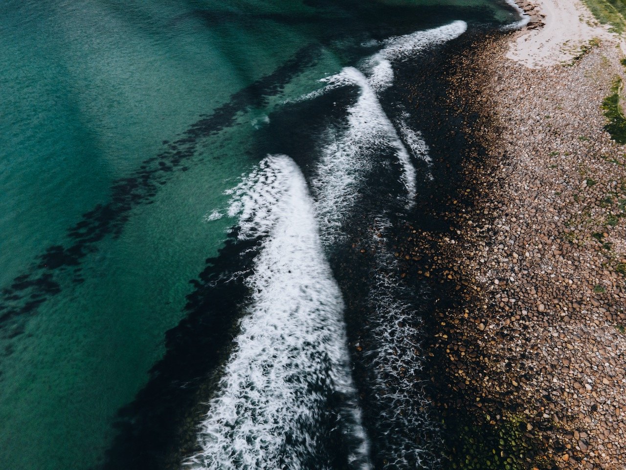
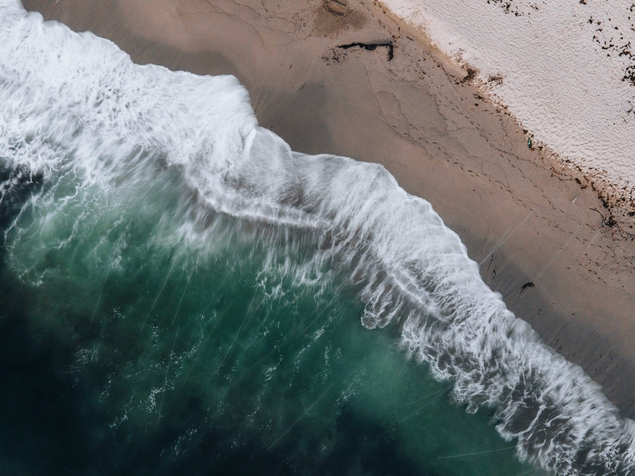
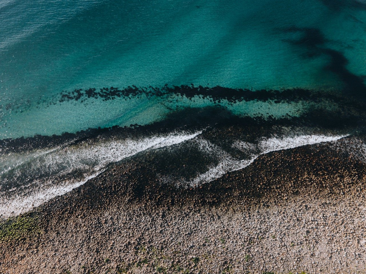
Unstad is a small town with a population of just 15. It is known as a surfing village to surfers from all over the world. In fact, Unstad Beach has been prominently featured in many travel websites and blogs. It is one of the more popular beaches in Lofoten with silky white sand, flanked on both sides with large boulders.

Unstad Beach, Lofoten, Norway (ISO 100, 4.5 mm, f/2.8, 1/50 s)
The surfing can be done through Unstad Arctic Surf that provides you with all the gear you need and accommodation. As someone who has tried a surfing camp once before, there is nothing better. These types of places provide you everything you need, as well as instructors, and an overall chill environment to get to know your fellow (aspiring) surfers. Specifically, I learned in Lisbon (Blog Post: Sightseeing in Lisbon, Learn how to surf too!), and I am intolerant to cold water, so I just wonder how surfing here would feel like.
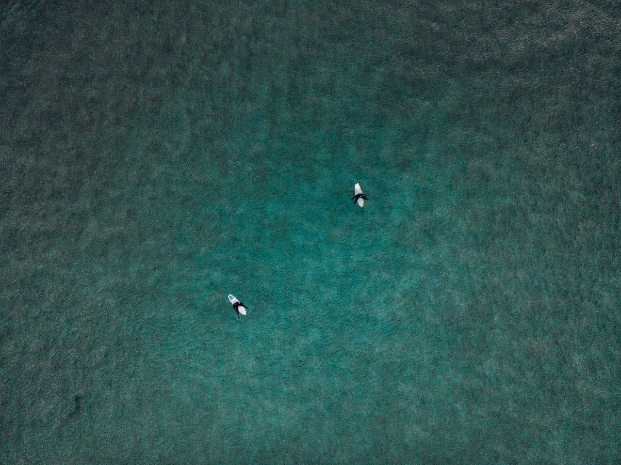
Surfing at Unstad Beach, Lofoten, Norway (ISO 400, 4.5 mm, f/2.8, 1/20 s)
The hiking game on this island is strong as well. For instance, Nonstinden is situated along a mountain ridge with great views over Unstad Beach. It isn’t my favorite hike to do as the way up isn’t so breathtaking, however once you reach the ridge, you can admire Unstad from above. You can also go even further to the summit and see views of even Uttakleiv Beach and Himmeltindan in the distance. You can start the hike at Unstad village to the left side of the beach.
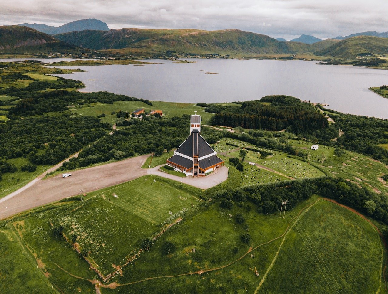
Borge Church, Lofoten, Norway (ISO 400, 4.5 mm, f/2.8, 1/50 s)
I’m a sucker for architecture, so I was pretty fascinated when I came across Borge Church in the small village of Borg. It’s red and white facade was quite striking, perfectly contrasting with the wide expanse of (mostly) farmland in the distance. The church is concrete and was built in a fan-shape style in 1986, the vision by architect Knut Gjernes. It can fit 600 people and was consecrated in 1987.

Surfing at Unstad Beach, Lofoten, Norway (ISO 800, 4.5 mm, f/2.8, 1/40 s)
Just nearby, another cool building that you cannot miss is the Lofotr Viking Museum. This museum is built onto of a Chieftain House, which is a Viking Era type structure, with origins all the way back to 500 AD. This house was first discovered in 1983 and excavations of the site were performed from 1986 to 1989. This house to date is the largest building ever found from the Viking period in Norway.
Uttakleiv Beach, Lofoten, Norway (ISO 200, 4.5 mm, f/2.8, 1/60 s)
The other ‘large city’ in Lofoten is at Leknes. We made a stop here for some groceries and to also pick up some butane cans for our grill. If you want some modern conveniences or just a break from nature, this is the place to go. The mall was actually surprisingly large with a lot of selection. The town has a population of 3,556 and is the administrative center of the Vestvågøy municipality.
Kleivheia is another hike in Vestvågøy, that takes you to a plateau situated between Unstad and Eggum. As it a site for sheep grazing mostly and as such, there aren’t really any trails that take you to the summit. I feel like this is a pretty cool feature, since you are more or less free to take whichever journey you’d like without any risk of getting lost. You can get to the ‘trailhead’ by keeping right once you enter Unstad until you find a parking lot.

Uttakleiv Beach, Lofoten, Norway (ISO 200, 24 mm, f/4, 1/1000 s)
The Mannen Hike has views reminiscent of South Pacific Islands as opposed to Lofoten. What’s really awesome about this hike is the view you get over THREE of Lofoten’s beaches (Uttakleiv, Haukland, and Vik). The mountain peak at Mannen in actually small and sits amidst a ridge in a mountain chain. To get to the trailhead, go towards Haukland beach and park before the tunnel to Uttakleiv.

Uttakleiv Beach, Lofoten, Norway (ISO 200, 4.5 mm, f/2.8, 1/50 s)
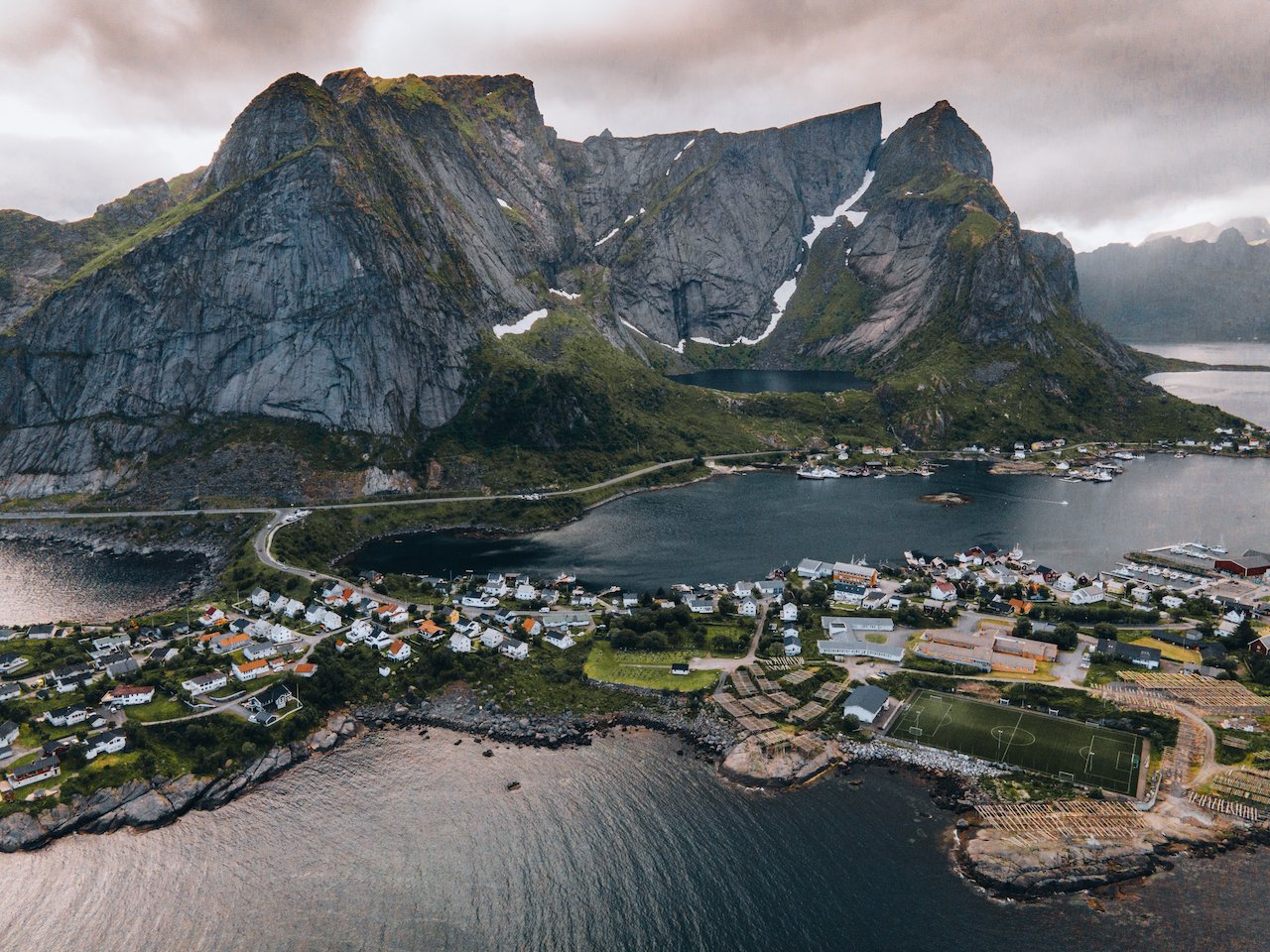
Speaking of which, Uttakleiv Beach is one of the more famous beaches in all of Lofoten. The beach is more dominant here as there aren’t many significant mountain ridges around. It is an ideal place to go to see the Midnight sun as well as the Northern Lights (Aurora Borealis). There is also a camp site nearby with good facilities.